Verkhnyaya Pyshma (Sverdlovsk Region)
A geographic information system (GIS) has been created at Uralelectromed JSC (an enterprise of the UMMC metallurgical complex), which has found wide application in various areas of the enterprise.
The GIS was brought to life by the specialists of the project management. It is a prototype of modern geoplatforms and allows in a matter of seconds to issue and filter the necessary information about the location of technological equipment, its main indicators and demonstrate the placement of communications in digital realities.
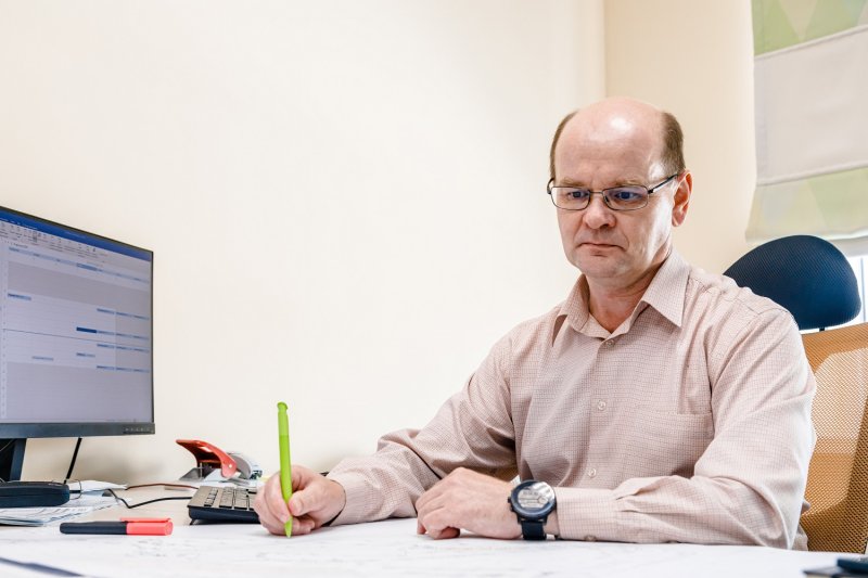
- It is a convenient assistant for collecting information converted into digital format ... GIS is a detailed layer combined with each other and referenced to a specific coordinate system. In the future, here you can quickly receive any relevant technical data or a passport of the object in a short time, - said the head of the design department Andrey Proskuryakov.
This project can improve the quality of analytical work for many departments. And, first of all, for those who are engaged in planning, design, construction and reconstruction of various objects at the enterprise. For example, a motor transport department uses GIS to know the exact number of road signs, and an energy department sees the location of electrical and heating networks. Moreover, GIS is a "living" organism with constantly changing relevant data that can be viewed in one click.
- At the moment, GIS continues its development. Rendering of factory objects and communications is based on modern Autodesk 3D and QGIS software. The system also integrates objects created using BIM technology. About 40 people are involved in this work today, including design engineers, geodesists engaged in topographic surveying, as well as specialists from other departments: power engineering, mechanics, electronics engineers, - said Dmitry Kuchin, head of the geoinformation modeling bureau of the project management department


