The development of laser scanning technologies opens up new perspectives in conducting engineering surveys and creating high-precision digital terrain models. This method has gained worldwide recognition due to its unique properties and wide range of possibilities. This article is devoted to the advantages and applications of laser scanning in various fields, especially focusing on the formation of a geodetic network and the role of this data in modern engineering research.
What is laser scanning?
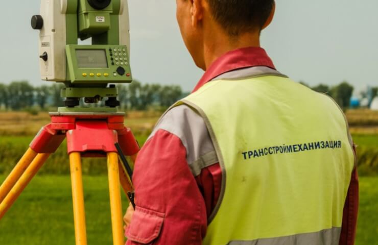
Laser scanning (also known as LiDAR) is a method of collecting spatial information by emitting laser pulses and then analyzing the reflected signals. The scanner generates a large number of points in space, forming a point cloud that displays the shape and position of real objects. The special feature of laser scanning is the ability to recreate three-dimensional digital models with the highest accuracy, literally down to millimeters.
This technology is actively used in urban planning, architecture, archeology, forest monitoring, infrastructure management, and many other fields. Its advantage is high productivity and minimal environmental interference, which is especially important when performing survey work.
Advantages of laser scanning
The main advantages of laser scanning are:
- High-resolution images: Laser scanners register millions of points, creating a clear digital copy of the real scene.
- Quickness of measurements: the measurement time is reduced to a minimum, which significantly speeds up the workflow.
- Minimal impact on the environment: scanning does not require physical interaction with the object, therefore, negative impact on the landscape or cultural monuments is excluded.
- Automation capability: Data processing is easily automated, which reduces the need for human labor and increases the accuracy of the final results.
It is thanks to these advantages that laser scanning has become firmly established in the practice of engineers and researchers, becoming an indispensable tool for updating the geodetic network and creating topographic plans of territories.
The use of laser scanning in engineering research
Laser scanning finds its application in a wide range of engineering tasks.:
- Creating a digital Terrain Model (DEM) — precise terrain contours allow for more accurate construction planning and modeling of the impact of future infrastructure on the natural landscape.
- Geodetic monitoring and updating