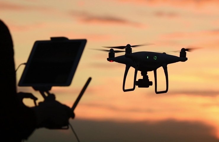
Sony Corporation announced the launch of a new project in the field of robotics for the production of drones with artificial intelligence.
The company emphasized that the popularity of aircraft in photography and video has revolutionized imaging in recent years. What's more, drones have helped improve workflow efficiency and reduce energy consumption in the industrial sector.
Sony has named the brand "Airpeak" to reflect its commitment to further develop and create unprecedented value with imaging and sensor technologies as well as 3R (Reality, Real-time and Remote) drone technologies.
"Airpeak will help maximize the creative potential of video creators and will contribute to the development of the entertainment industry, as well as to increase efficiency and reduce costs in various sectors of the economy," the company is convinced.
In addition, Airpeak promises to create drones with the highest levels of safety and reliability for situations and conditions in which the use of these aircraft was previously impossible or difficult.
Sony will continue to publish information related to the project and receive feedback from drone users through joint activities to prepare for the launch of the project in spring 2021
The Japanese company plans to start looking for partners in the professional field who can cooperate on the project.
Recall that drones are actively used in the mining industry when inspecting quarries and production facilities. As a result, a 3D model of the object, a digital elevation model (DEM) and an orthomosaic - a map made up of many photographs - are built.
When compiling a map of deposits where mining is carried out, the speed of information update is especially important. A digital terrain twin is needed to determine the volume of mine workings and monitor the compliance of the parameters of the open pit with the mining development plan. The advantages of the software and hardware complex are flexibility, because depending on the task, you can survey the entire open pit or just one face and the efficiency of data acquisition, which is much higher compared to, for example, satellite imagery.