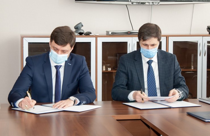
On April 6, 2021, at the premises of the State Space Agency (SCA) of Ukraine, a Memorandum was signed between the SCA and the State Service of Ukraine for Geodesy, Cartography and Cadastre (State Geocadastre) on cooperation in the field of science, technology and education.
The head of the SCA Volodymyr Taftay noted that the development of such cooperation is extremely important for the agency, as it allows translating into a practical plane the results of developments that were obtained within the framework of the nationwide targeted scientific and technical space programs of Ukraine. In general, this will ensure the introduction of innovative satellite monitoring tools and sustainable development of the Ukrainian economy.
Acting Sergei Zavadsky, Chairman of the State Geocadastre, said that the signing of the Memorandum will allow deepening cooperation with the SCA to create a modern coverage of the entire territory of Ukraine with highly detailed satellite images, restore cadastral maps, identify violations in the field of land use, etc.
The Memorandum creates a legal basis for the conclusion of bilateral agreements and the achievement of additional agreements on cooperation in the study and use of space technologies for remote sensing of the Earth (ERS), the formation of high-precision cartographic data, the creation of an information and telecommunications infrastructure of the State Geocadastre and subordinate enterprises, institutions and organizations, relating to the management of the State Space Agency and the State Geocadastre, for the integrated collection and processing of information, the use of remote sensing technologies and satellite navigation for the rational use of the state's land resources, the development of space, topographic-geodetic and cartographic industries, as well as the creation of the National Geospatial Data Infrastructure.