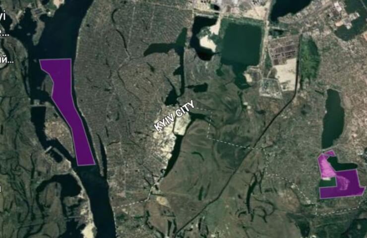
The State Service of Geology and Subsoil of Ukraine has posted updated open data in kmz format available for viewing in the Google Earth application in order to check possible cases of illegal mining.
Now on the web resource of the service you can find up-to-date information on current special permits, in particular on the suspension or renewal of its validity. Immediately from the application, you can go to the database of special permits to get acquainted with full information regarding the type of use of subsoil, mineral resources, owner, etc.
“Cases of uncontrolled mining of local minerals, including on an industrial scale, are observed practically throughout Ukraine. This is, first of all, about building sand. Such acts damage the environment, the state budget loses millions of hryvnias in revenues, and the restoration of disturbed lands requires a lot of effort, - said the chairman of the State Geonadr Roman Opimakh. “This year, the Service issued a record number of special permits for the use of subsoil, twice as many as the annual figures in the past, of which more than 50 for the development of sand and other construction materials related to local minerals.”
Through the use of open databases, a convenient online check is now available for the placement of authorized mining sites along with the current status of the special permit. Geospatial files are updated regularly.
“The fact of having a special permit in a particular territory can be checked using a smartphone on your own. To do this, you need to download Google Earth to your mobile device and add files in kmz format from the State Geological Portal. Then determine your location by activating geolocation and revise the borders and the status of special permits, "- said the head of the service.
Information on the possibilities of operational remote verification of possible places of illegal mining is available at the link: https://www.geo.gov.ua/geo/borotba-z-nezakonnym-vydobutkom
Let us remind you that recently the State Service of Geology and Mineral Resources of Ukraine published Algorithm for holding events in case of detection or receipt of information about illegal mining of national and local importance.